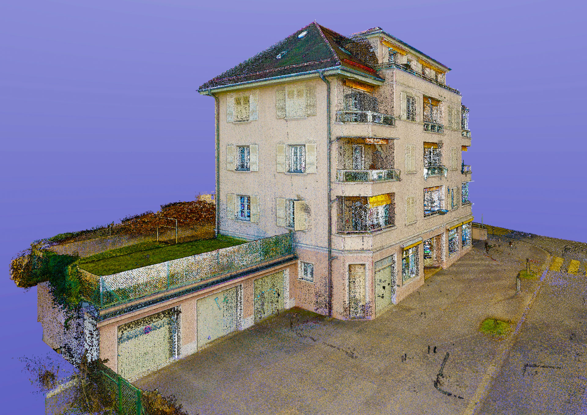
Point clouds : Formats for integrating point clouds into CAD software
Point Cloud Formats
Various point cloud formats are available for building scanning. These formats offer architects remarkable flexibility in their workflow. At 3dScanBAT, we are committed to providing solutions that are integrated with CAD tools.
Available formats
Find out more about the formats we offer, with a brief description of each format and the corresponding CAD software. Please note that the desired format must be specified when ordering.
LAS format
The LAS format is commonly used for LIDAR data. It is compatible with a wide range of CAD software. This format is ideal for topographic surveys and terrain analysis.
PLY format
The PLY format is widely used in 3D modelling. It provides high precision and excellent visual quality. This format is compatible with software such as AutoCAD and Blender.
E57 format
The E57 format is designed for interoperability between different scanning systems. It is particularly suited to projects requiring high accuracy. Compatible software includes Revit and Navisworks.
XYZ format - Only available with the Matterport solution
The XYZ format is simple and lightweight. It is perfect for quick and easy integration into various design tools. This format is compatible with software such as Rhino and SketchUp.
RCP format
The RCP (ReCap) format is used primarily with Autodesk software. It is ideal for projects requiring seamless integration with AutoCAD, Revit and Navisworks. This format can be used to manage large datasets of point clouds.
At 3dScanBAT, we understand the importance of providing point cloud formats tailored to your needs. Our solutions integrate seamlessly into your workflows, offering greater efficiency and improved quality of work.


 3D Scan Bat