The use of ortho-images or ortho-photography in architecture
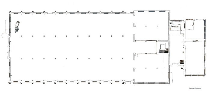
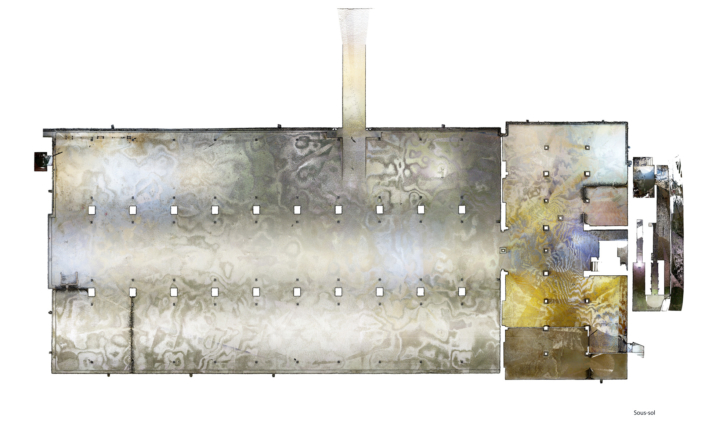
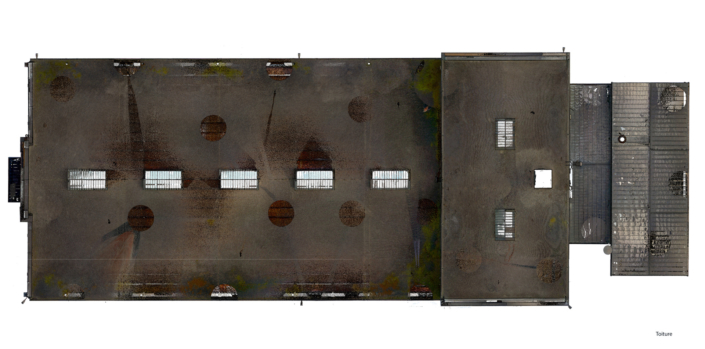
Orthoimage or ortho-photogaphy is the exact reproduction in plan view of a facade, a roof, a vertical or horizontal section.
Its scale can be defined on the pixel according to the size of the image, for example 1 pixel = 1cm. By a known element, for example the length of a wall, or by a scale on the image.
This image is acquired at 3D Scan Bat using our high-performance laser scanner. The quality of the HDR photos provides a faithful reproduction of an architectural plan in terms of both dimensions and visual appearance.
Our post-processing software allows you to define a cutting depth of between a few mm and a few metres. The choice of depth depends on how the ortho-image is to be used.
This ortho-photograph can be inserted into any CAD software, and after scaling, the architect can check the accuracy of a plan, make a dimensioning, take measurements directly on the ortho-image, draw new elements or use the ortho-image to produce 2D plans.
In heritage conservation, ortho-photography can be used to produce very precise reproductions for renovation plans, to study architectural details or to create archives for the preventive conservation of buildings of architectural interest.
Advantages of ortho-photography
Data acquisition for orthoimages is very fast, and is combined with the acquisition of a point cloud that can be used either in parallel or later on CAD software (but with the ability to process point clouds) and 360-degree photographs in HDR quality.
The 360-degree photographs can be used to create a 3D virtual tour of the structure, enabling visitors to take measurements directly from the virtual tour. You can find more information on the dedicated page: "Virtual visit
Architects who do not work in 3D can benefit from a precise survey by drawing their floor, section, façade and roof plans directly on the ortho-image. Here again, the virtual visit medium enables the building to be viewed in its entirety, measurements to be taken that would not be accessible on the ortho-image, and data to be shared with the various parties involved.
In terms of preserving the built heritage, as we said earlier, orthoimages can be used to document a structure for preventive purposes, to analyse architectural features, or in combination with a 2D architectural plan to show decorative details or details that are difficult to represent in drawings.
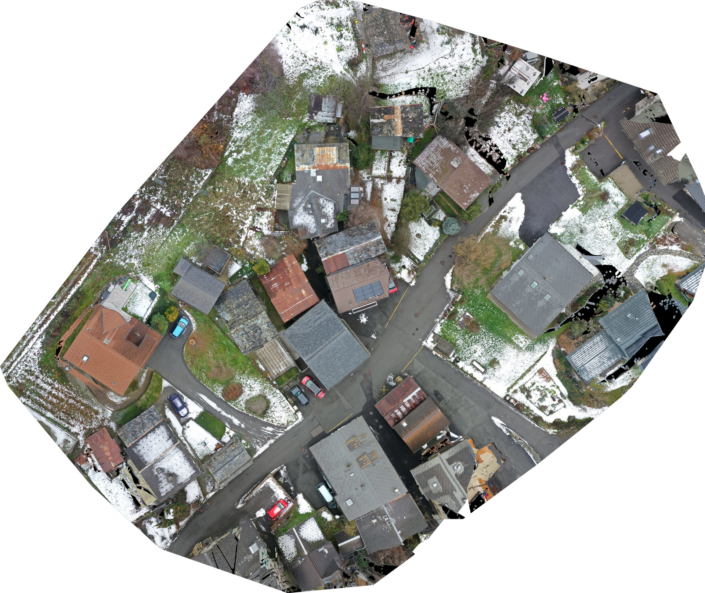
Finally, to conclude this succinct presentation of the advantages of ortho-photography, let's recall the use of aerial ortho-imagery using a drone. for roofs or larger built-up areas for neighbourhood plans or civil engineering for roads, for example.
Please note that the orthoimages on this page have been lightened and are not to the original scale. On request, we will send you a set of ortho-photographs corresponding to the planned work.


