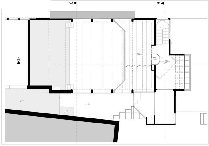
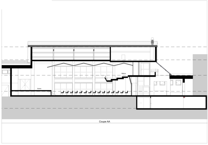
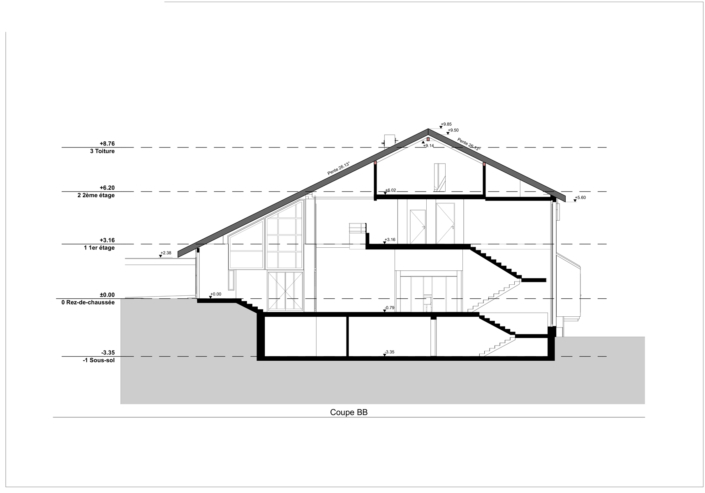
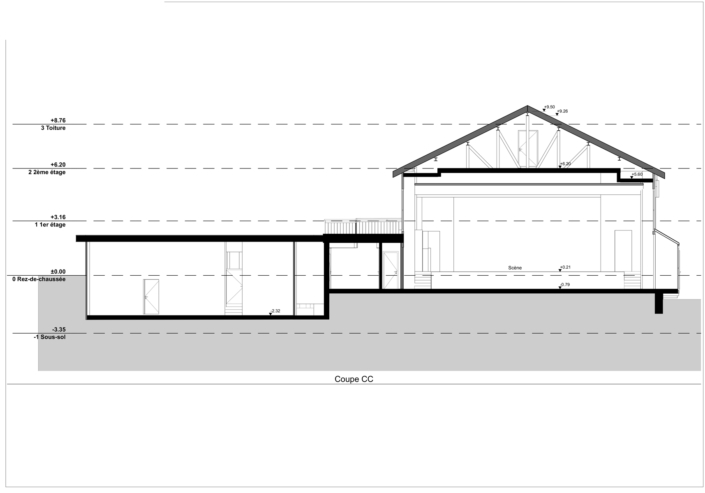
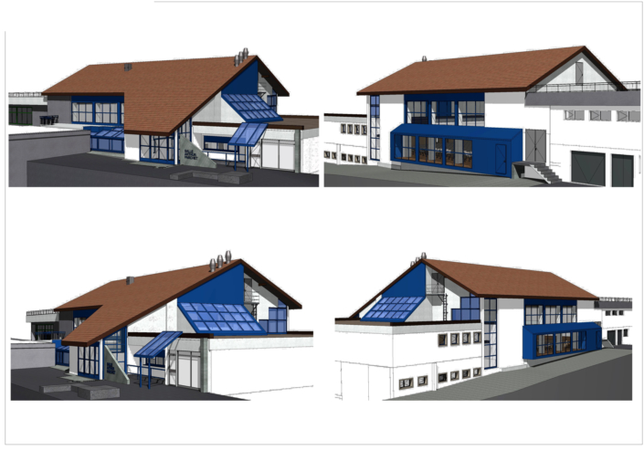
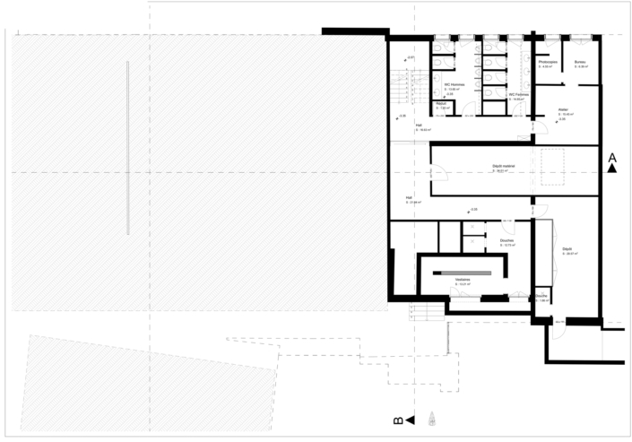
Why Choose Our Architectural Plan Services?
Our Swiss company, which specialises in the development of architectural plans 2D and 3D, is distinguished by its use of 3D laser scanning. We are commissioned by architects wishing to obtain the existing state of a building or by customers needing plans for the renovation of their house or for the study of the building. CECB Plus. Unlike some architects' offices, we don't take care of putting projects out to tender, supervising building work or carrying out feasibility studies.
Our cutting-edge scanning and 3D modelling techniques
Laser scanning and photogrammetry: the basis of our architectural plans
We use cutting-edge technologies such as laser scanning and photogrammetry to accurately capture the details of your building. This advanced scanning allows us to create 2D and 3D plans that serve as the basis for all construction or renovation projects.
Advantages of our Architectural Plans
Our plans are also aimed at engineers, property managers, developers and public institutions. Thanks to precision of our laser readingsWe can document every level, every façade and every technical detail. This not only improves planning, but also facilitates communication between all those involved in the project. For complex renovationsWe identify inconsistencies or structural deformations that are invisible to the naked eye. Our plans thus become a genuine diagnostic and projection tool. They ensure smooth coordination between the various trades and better anticipation of technical or regulatory constraints.
Precision and detail
Our 3D laser scanner surveys guarantee millimetre accuracy. Every detail of the structure is captured, enabling extremely detailed plans to be produced. This precision is crucial to avoid costly mistakes during the construction or renovation phases.
Time saving
Scanning technology considerably reduces the time needed to carry out surveys compared with traditional methods. This speeds up not only the production of plans, but also the launch of your project.
Flexibility and customisation
Whether you need plans for a detached house, a flat or any other type of building, our services include 3D architecture are tailored to meet your specific needs. We can also customise plans to suit your requirements, including particular elements or specific configurations.
Using Architect's Plans
For Architects
We work closely with architects to provide plans of the existing condition of buildings. These plans are essential for understanding the current structure before starting any renovation or conversion project.
For Homeowners and Businesses
For homeowners and businesses, our architectural plans are essential when renovating a house or commercial building. They provide a solid basis for planning and carrying out the work, ensuring that all modifications comply with standards and expectations.
Our work process
Initial consultation
We start with a consultation to understand your specific needs and the particularities of your project. This stage is crucial in defining objectives and expectations.
3D survey
Our experts use high-precision laser scanners to capture every detail of the existing structure. This process creates an accurate digital representation of your building.
Modelling and Creation of Architectural Plans
The data captured during the 3D survey is used to create accurate 2D and 3D models. Our architects and technicians then work on these models to produce the final plans.
Review and Delivery
Before delivering the 3D plansThe drawings are then delivered in the required formats, ready for use on your project. The plans are then delivered in the required formats, ready to be used for your project.
What sets us apart is our approach, which focuses on reliability and adaptability. Every project is unique, and our architectural plans reflect it. We work hand in hand with our customers to integrate their constraints, whether aesthetic, technical or budgetary. Our 3D surveys also enable us to move smoothly towards the BIM model, which is essential for major projects. Finally, our ability to deliver quickly, in ready-to-use formats, makes us a responsive and committed partner. Whether you're an architect, client or private individual, we can help you secure every stage of your project.


